
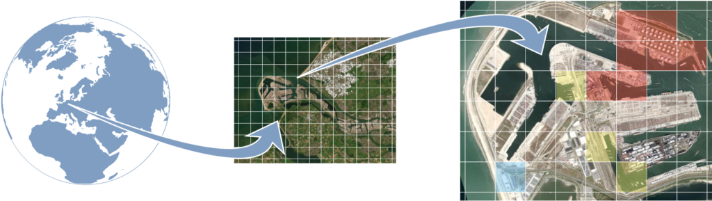
With the GeoLocator platform, companies can visualise geographic locations worldwide using a grid pattern. Zooming in from space, an ever finer grid distribution develops. Locate predefined coordinates, map and label them, and manage a wide variety of features for those locations.
You need the GeoLocator when you…
- Use geographic data to accurately inform users of locations
- Need to mapping with grid distribution overlays for diverse applications
- Want to accurately navigate geo location with scalable grids
- Like a cool-looking zoom function from 600 km down to 100 m
How does GeoLocator help you to achieve this?
- Maebble created a website plugin to navigate the globe
- We accurately locate and designate (label) map areas
- You can use scalable earth views and self-defined grid patterns
- And you can seamlessly zoom in and out, or fly across the planet
Benefits of the GeoLocation Platform
- Attractive, interactive presentation of geographical data
- Fully customisable to fit your need and audience
- Light weight app for high speed performance. 100% Portable